
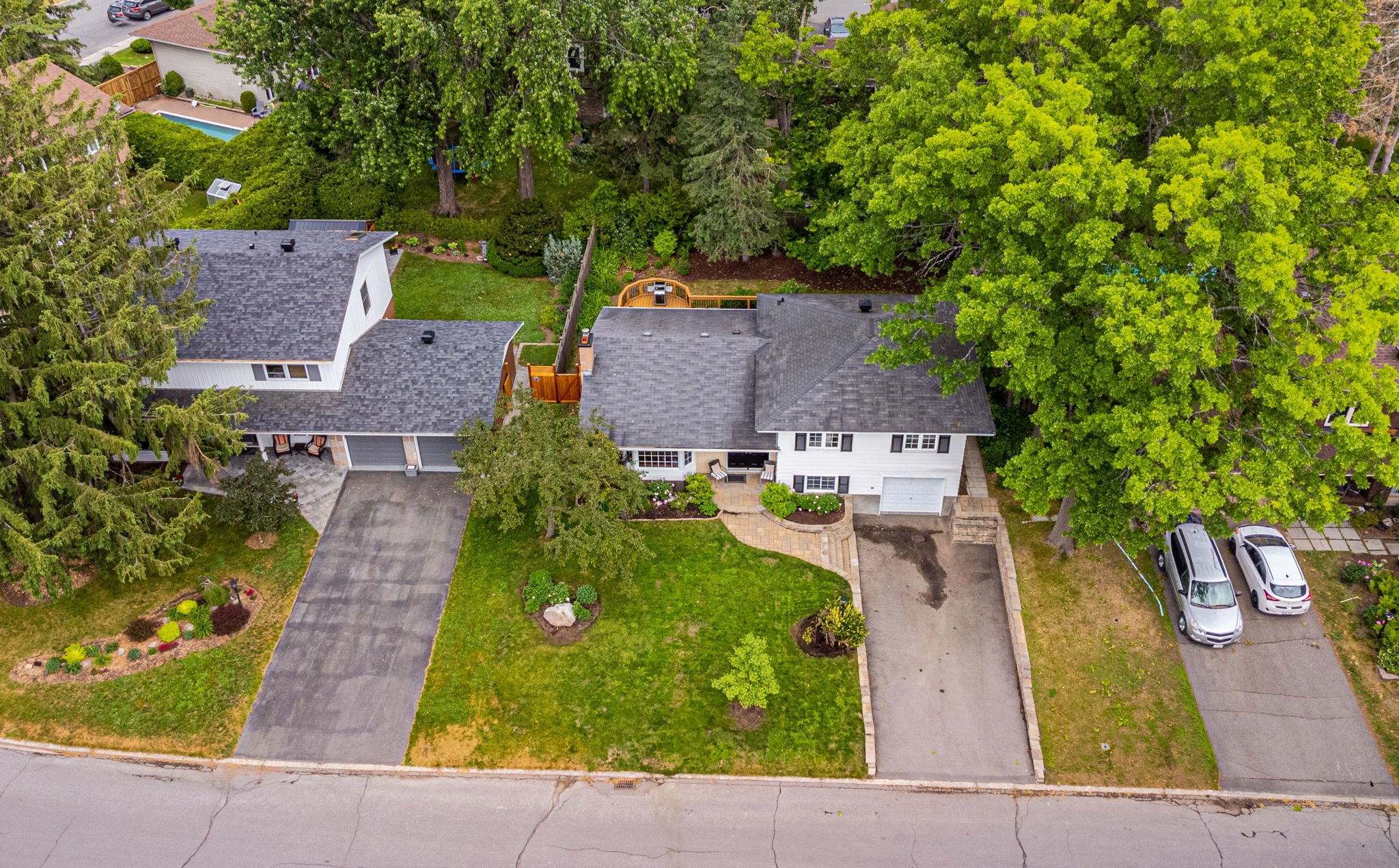
Room
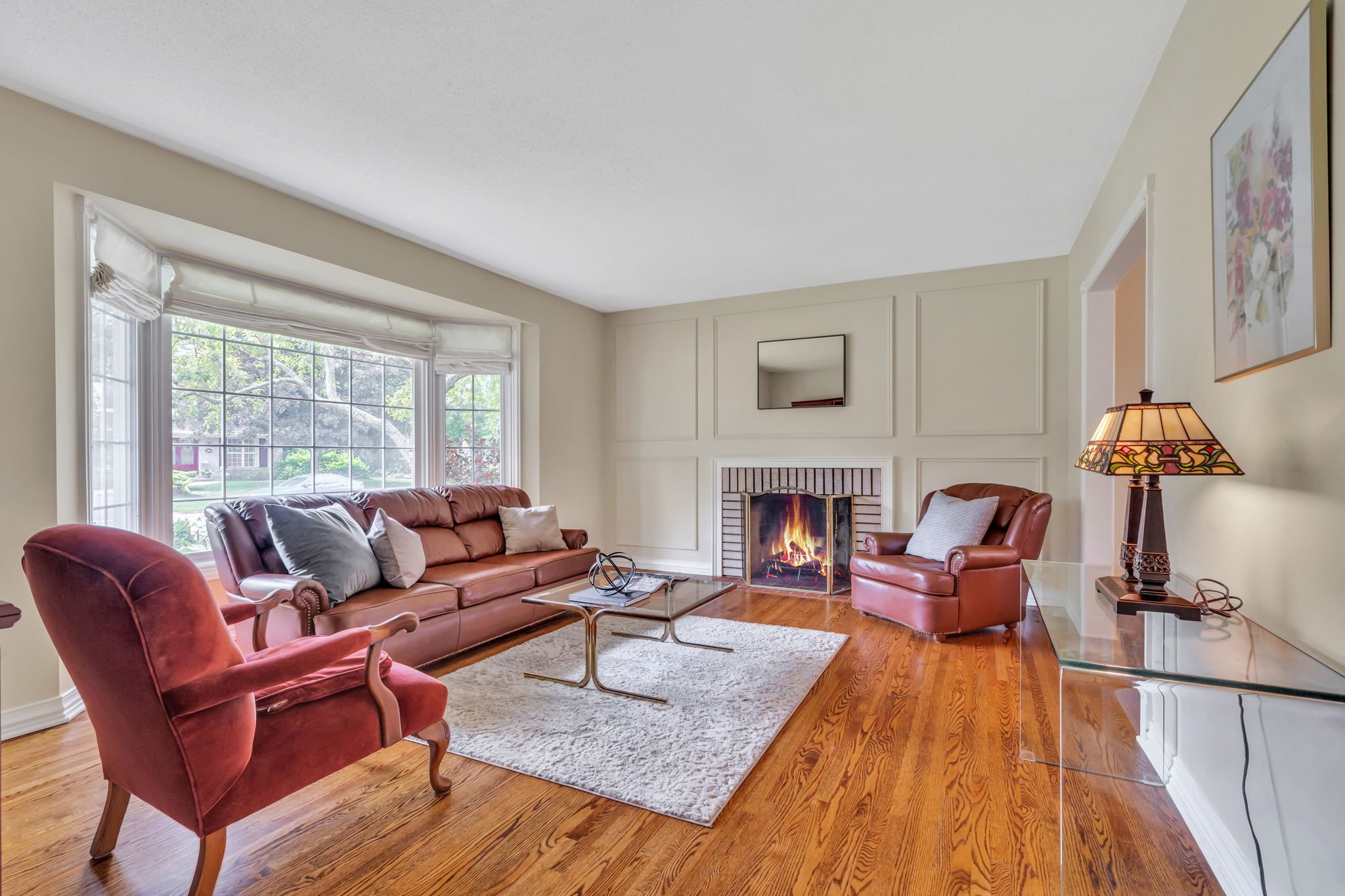
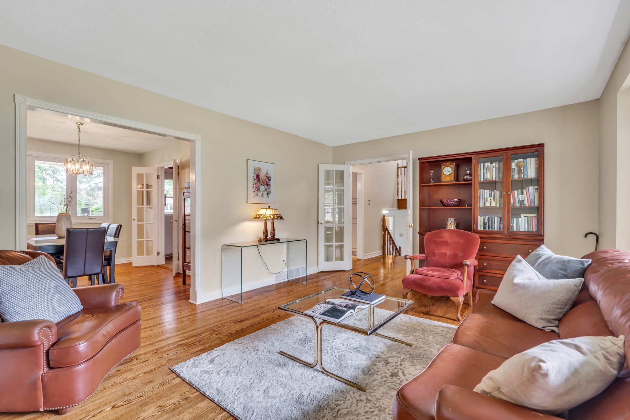
Living Rm:
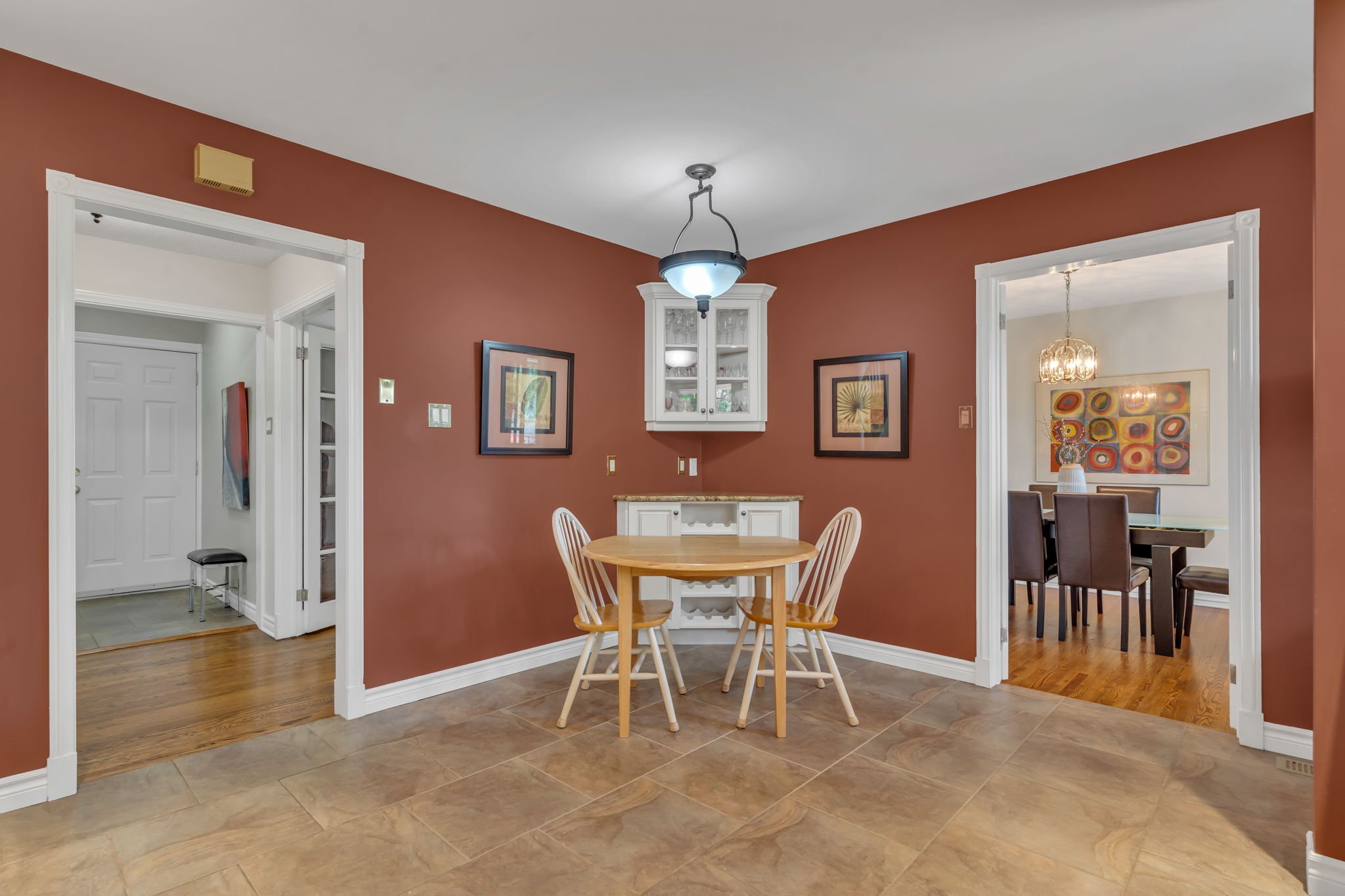
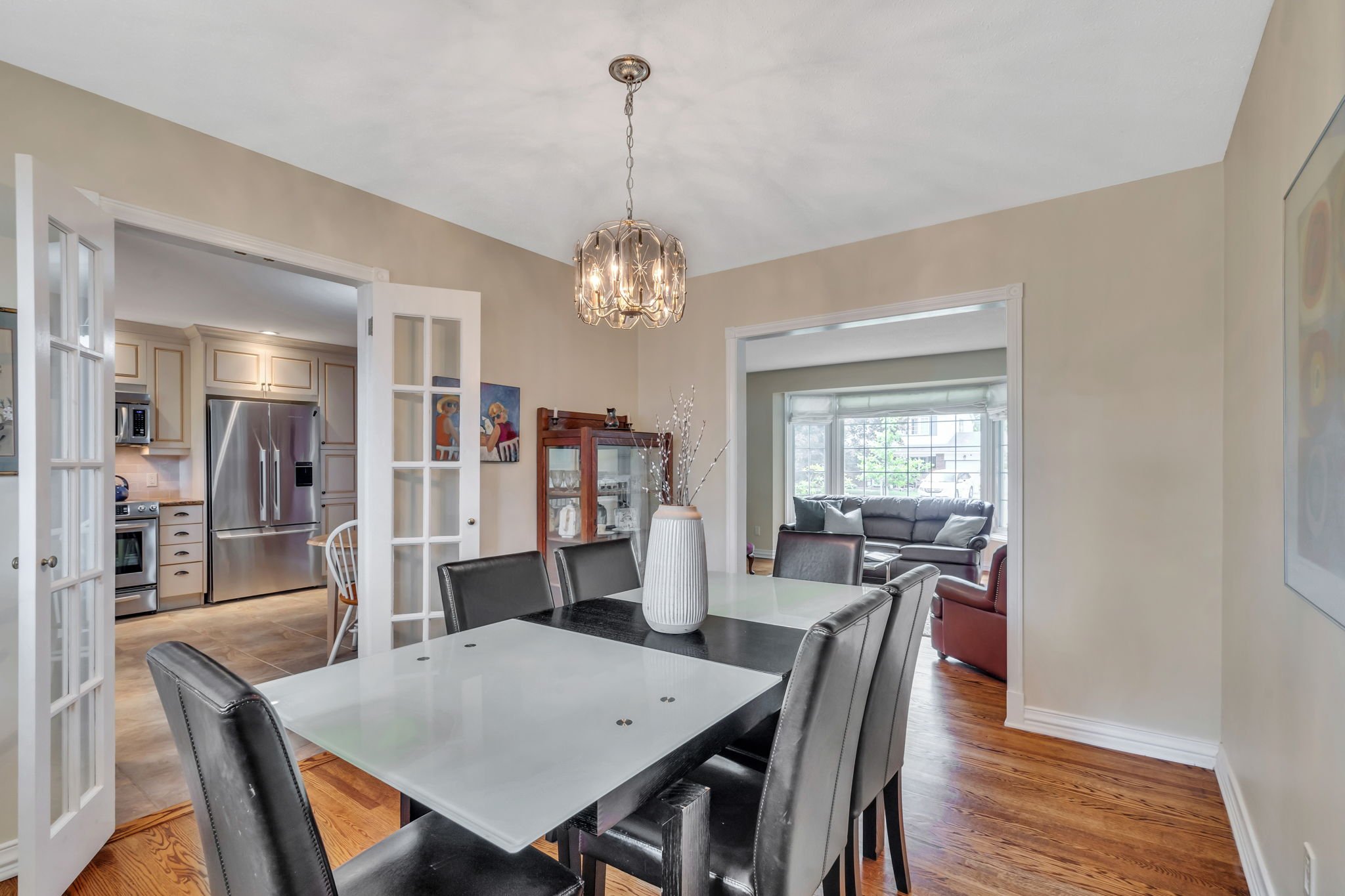
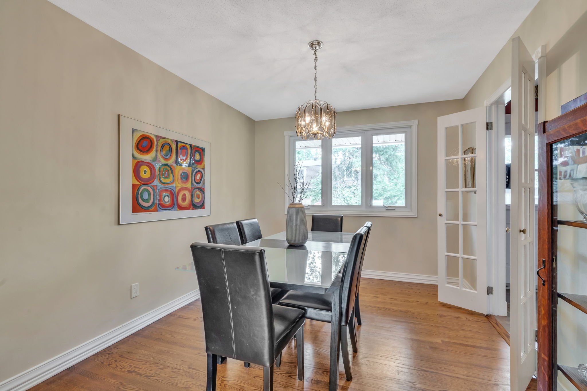
Dining Rm:
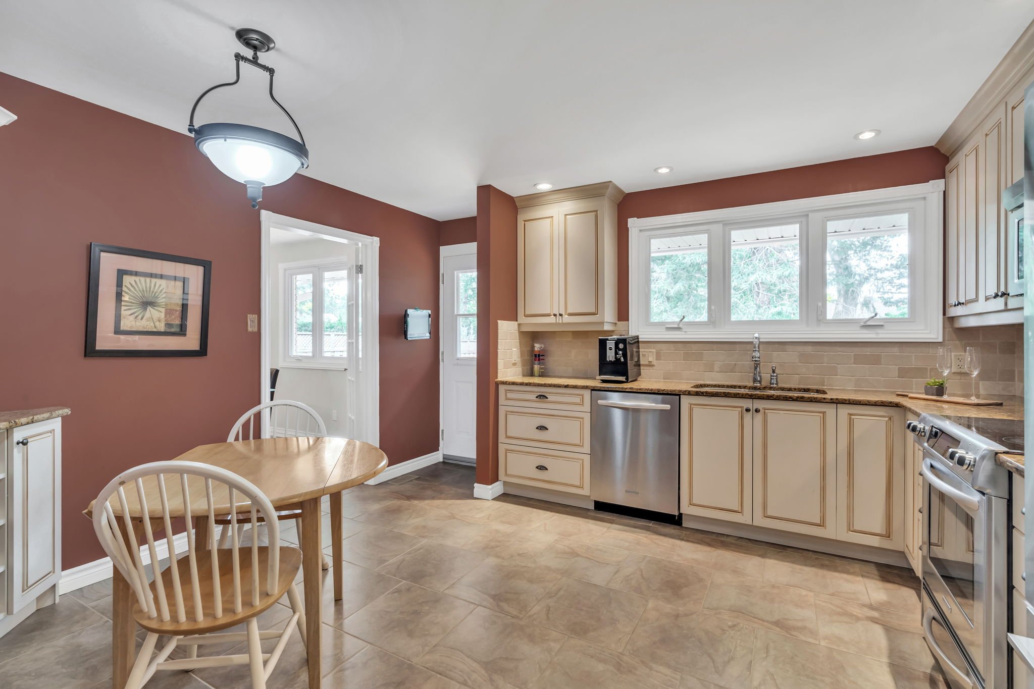
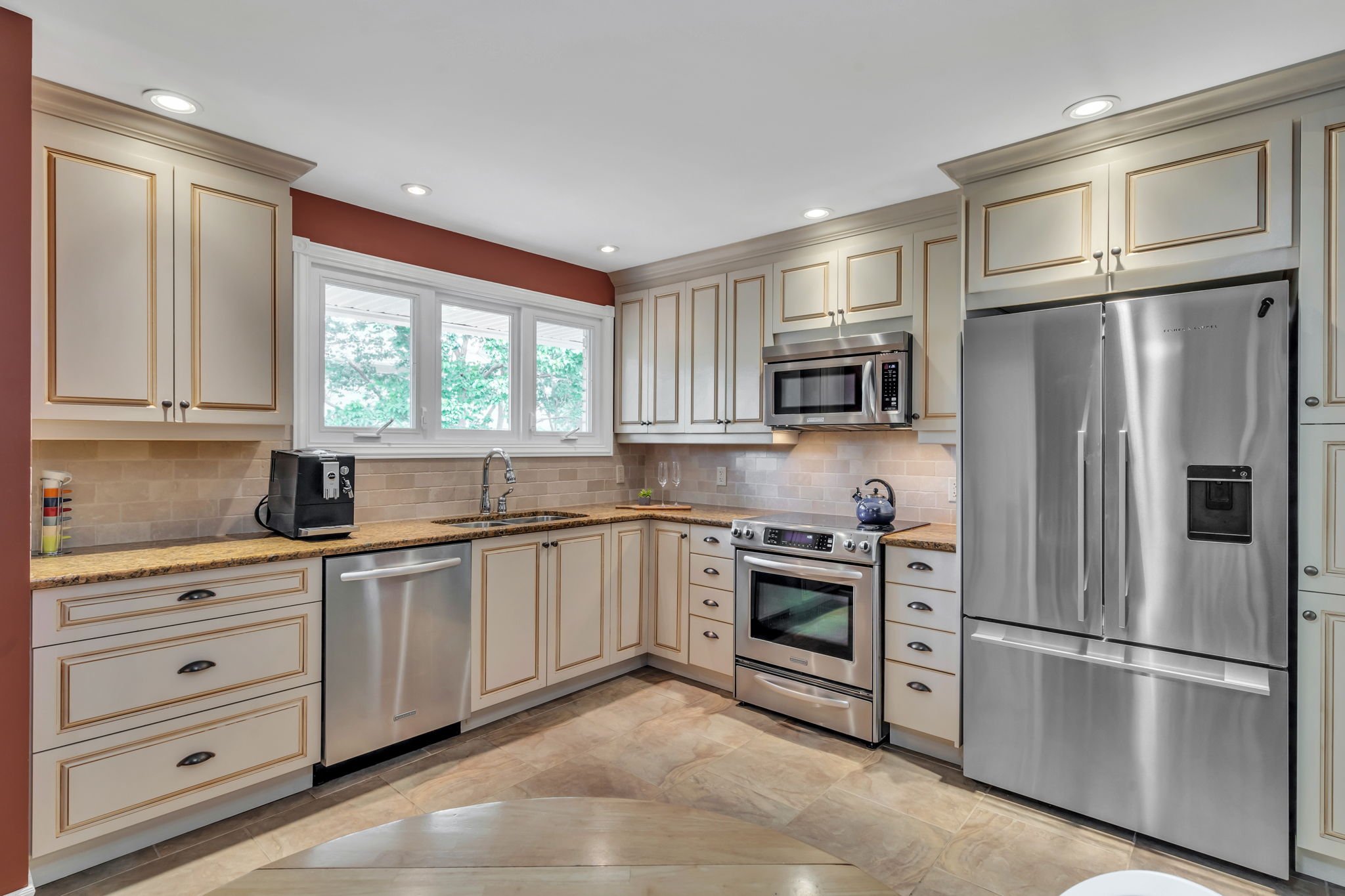
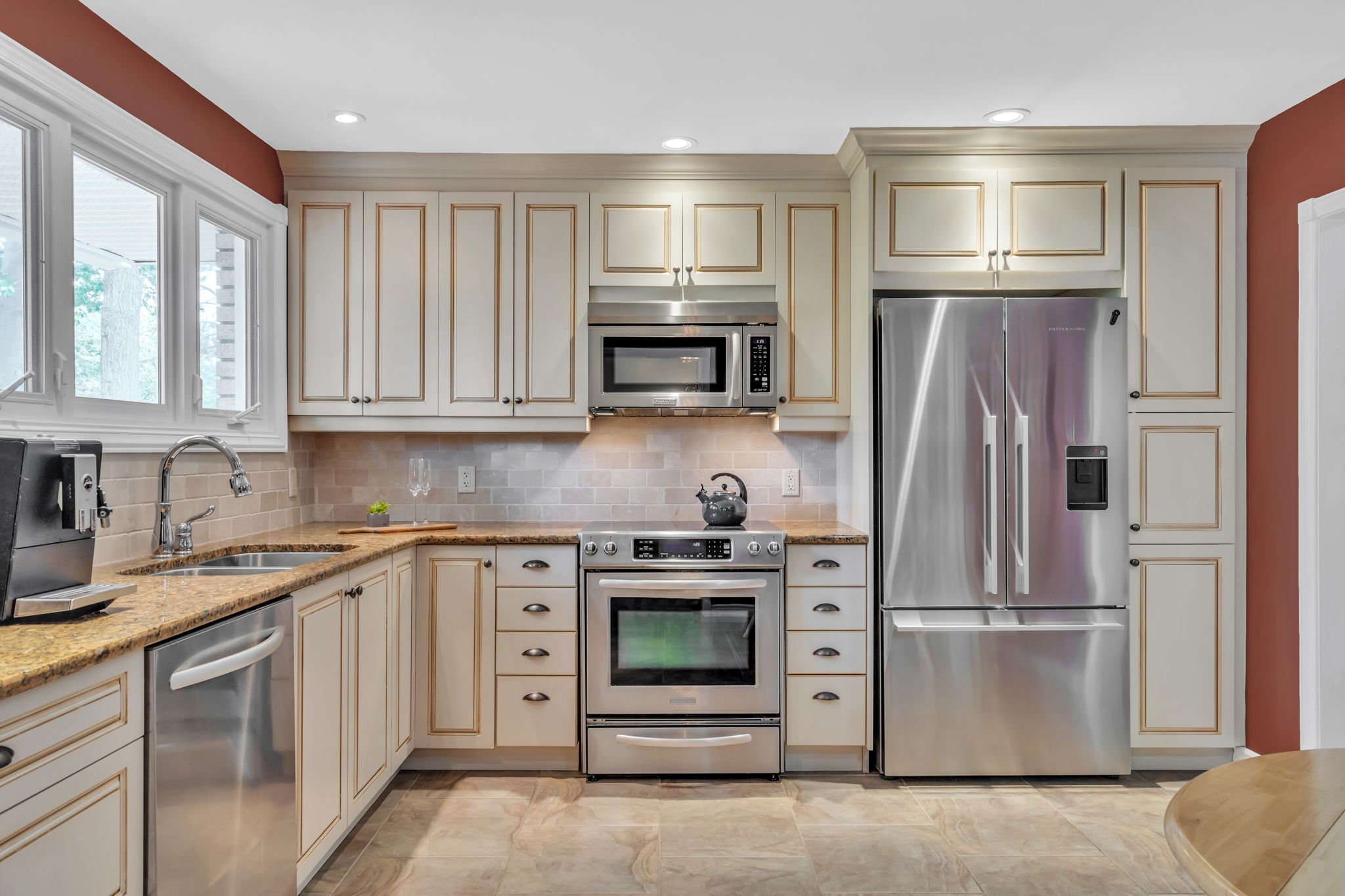
Kitchen:
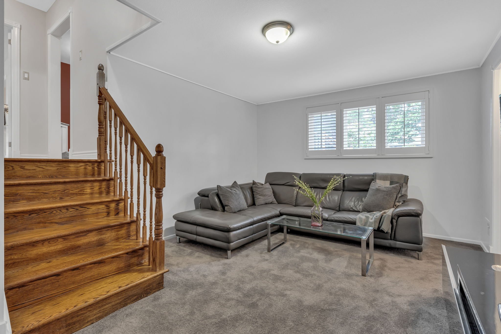
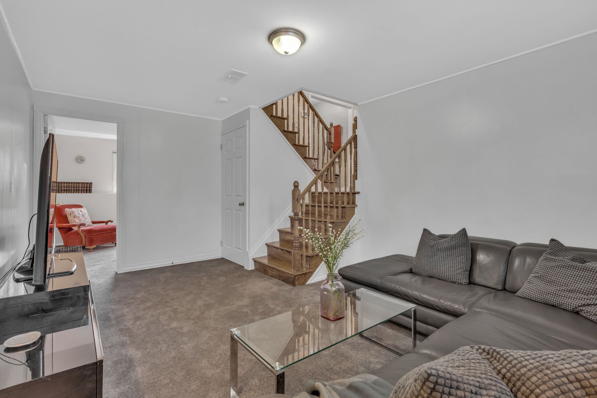
Family Rm:
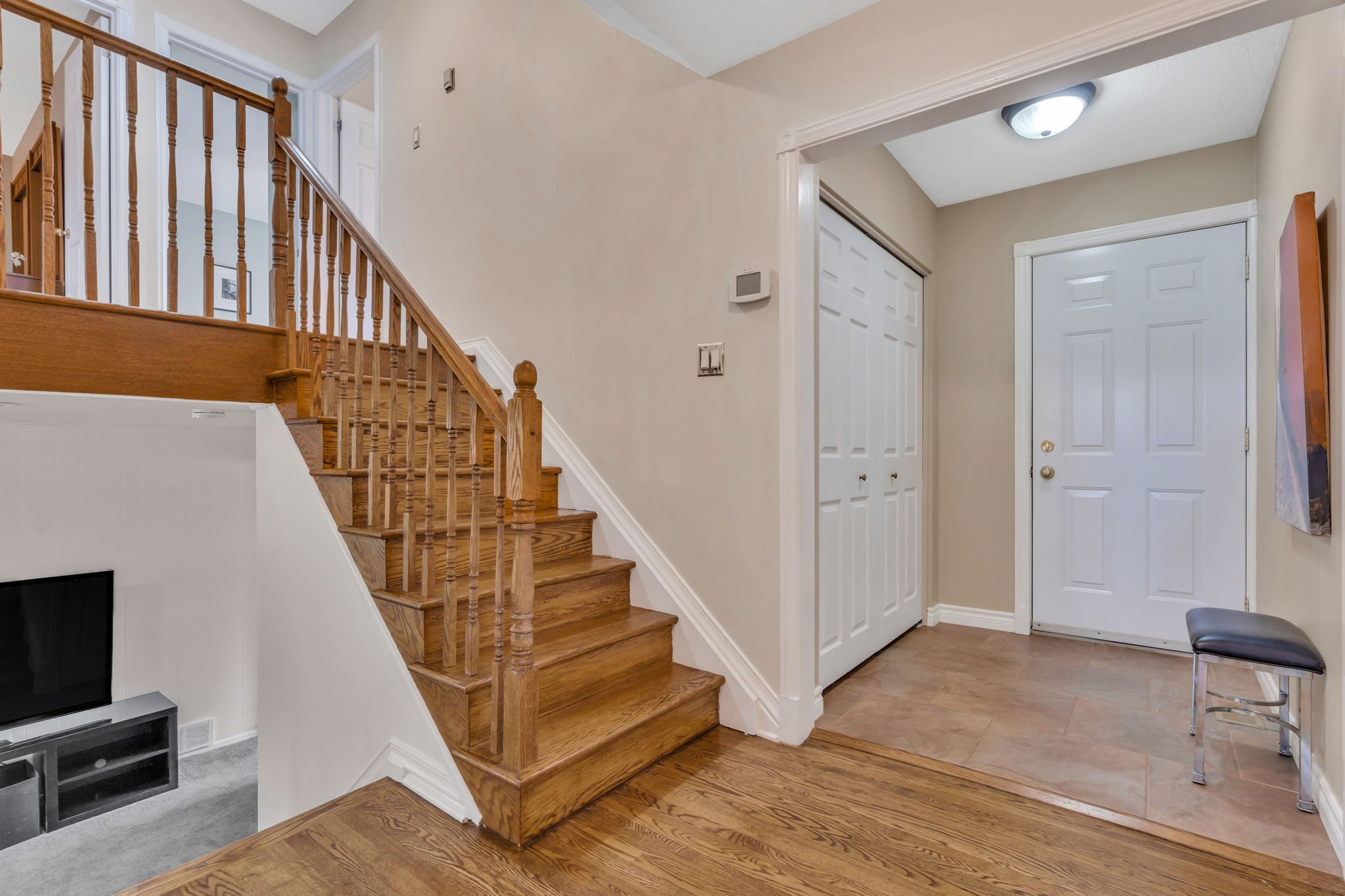
Foyer:
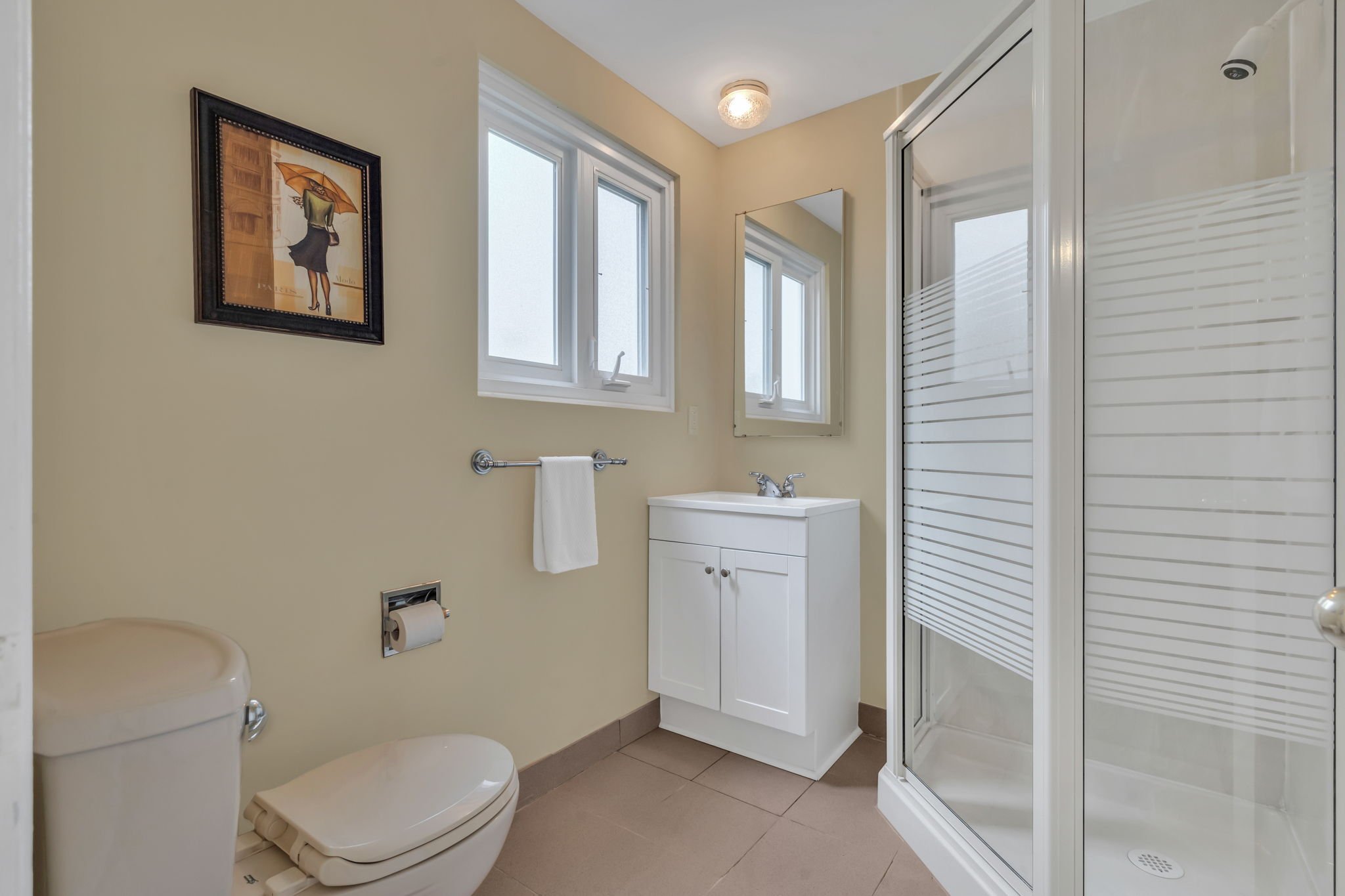
3pc Bath:
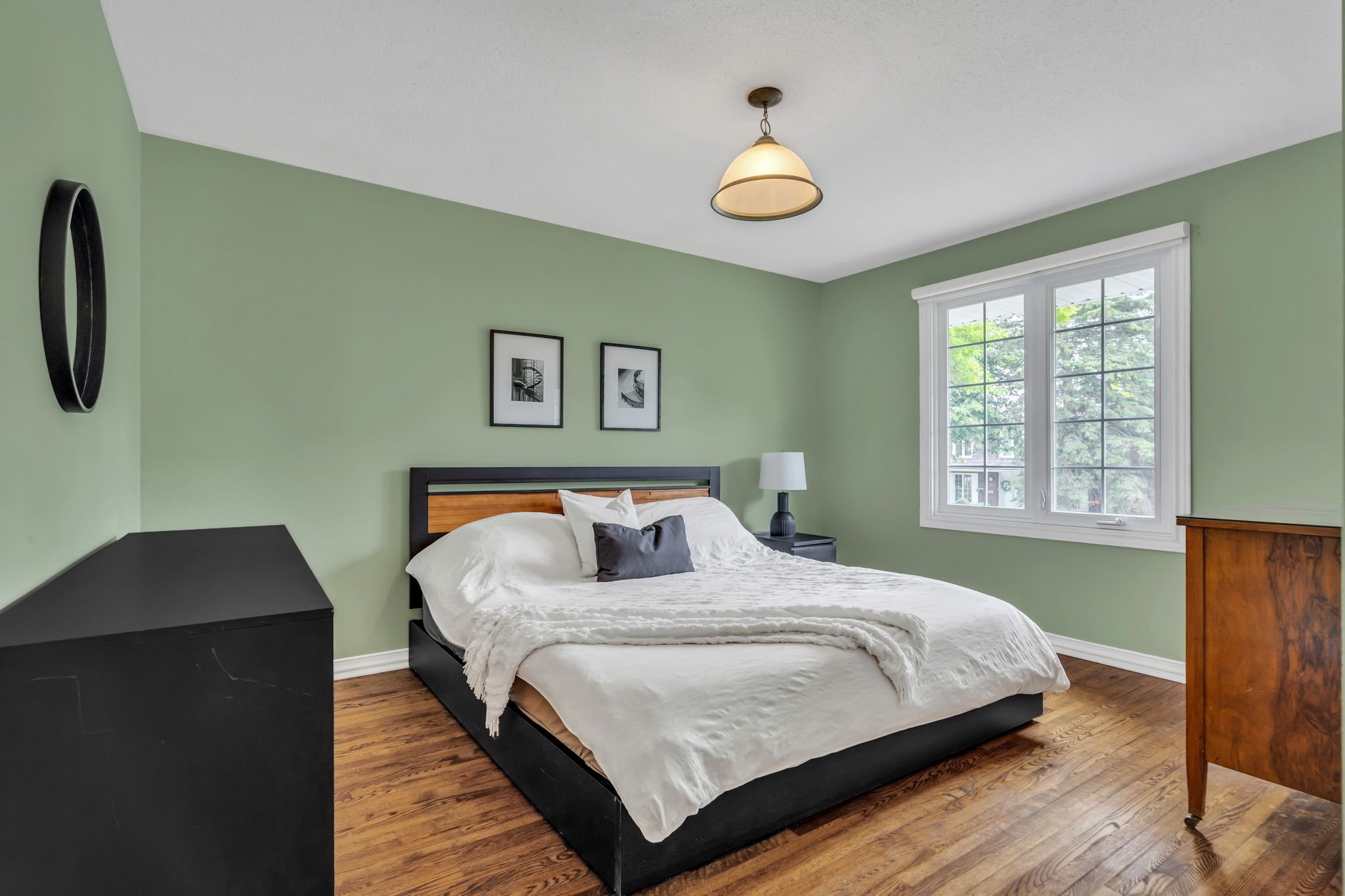
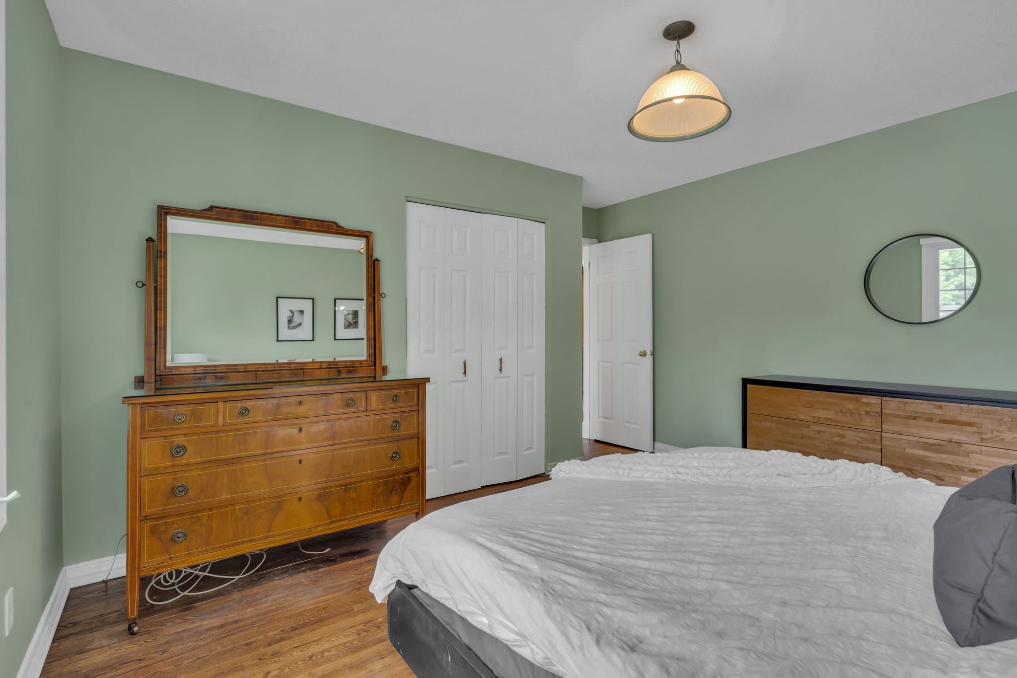
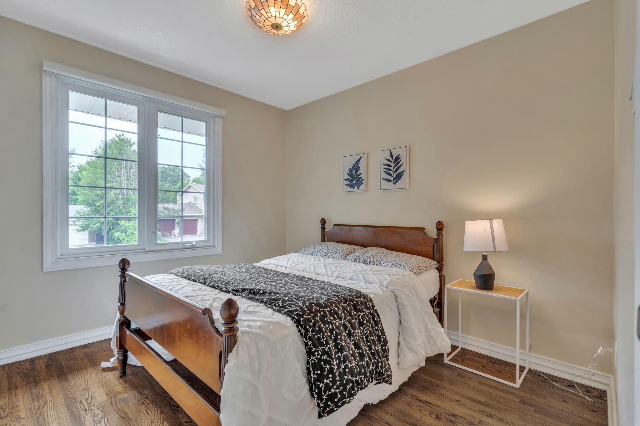
Primary:
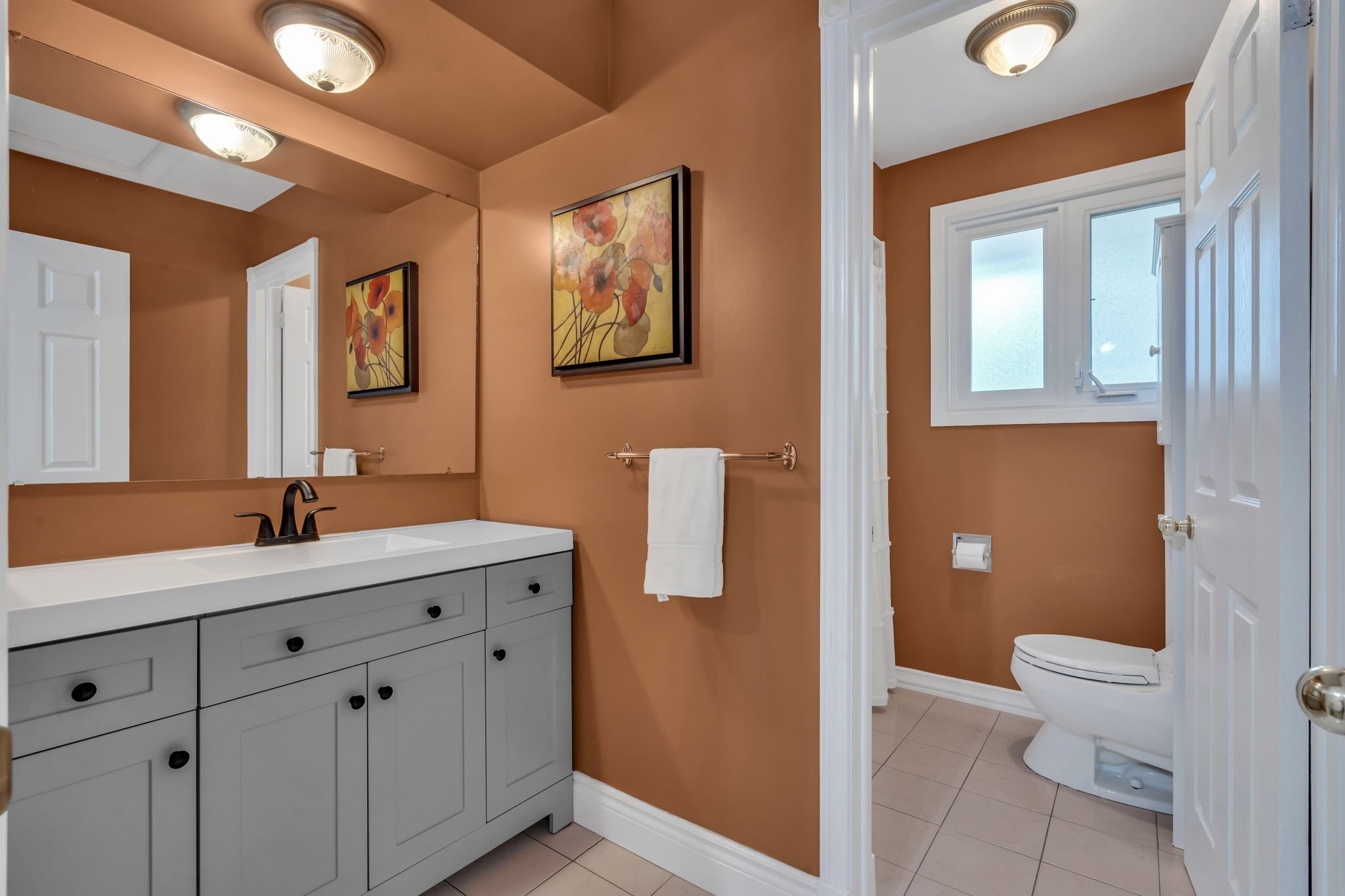
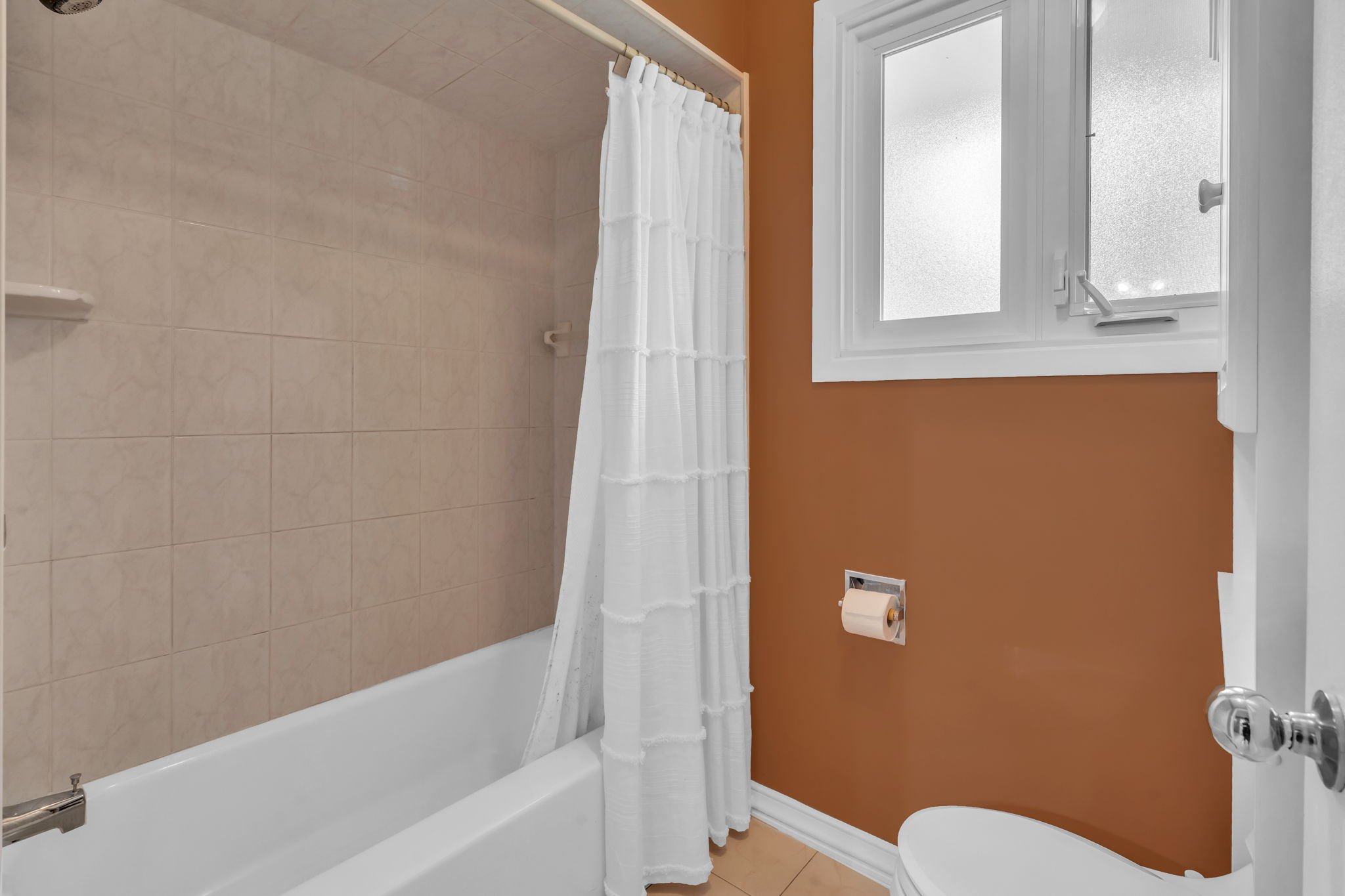
4pc Bath:
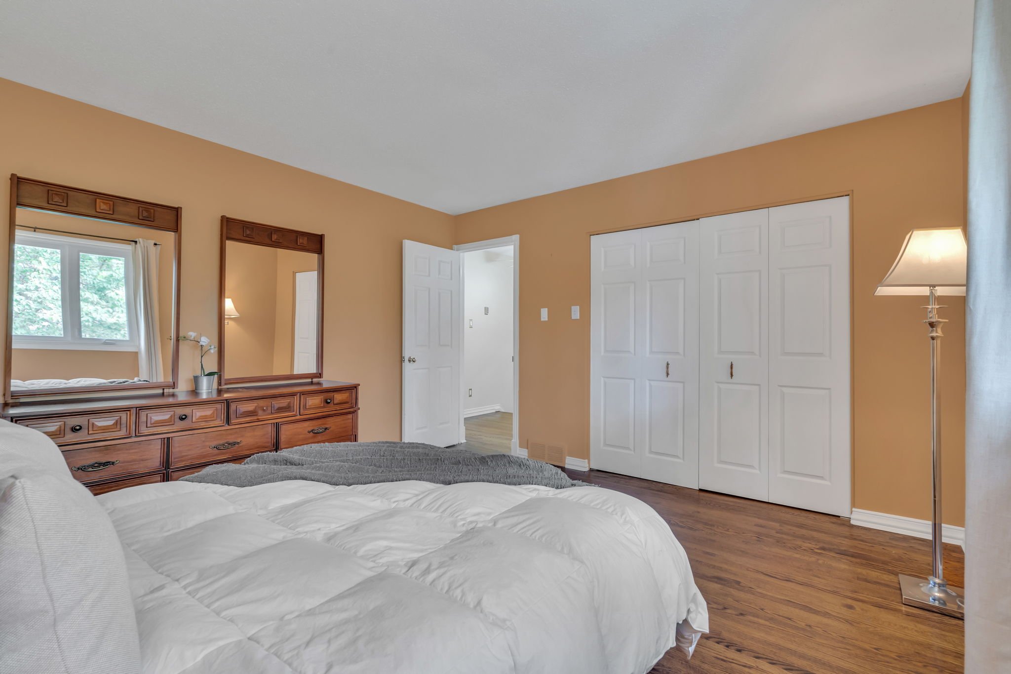
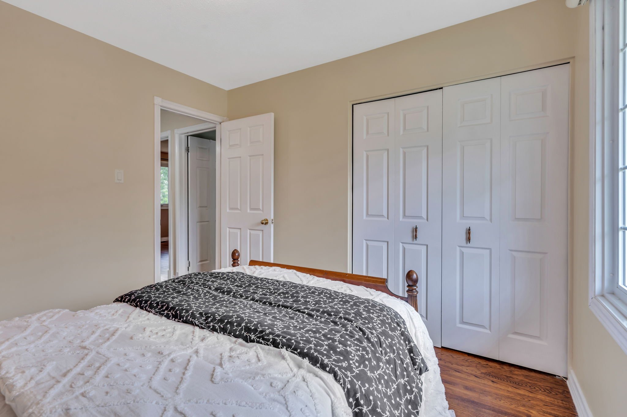
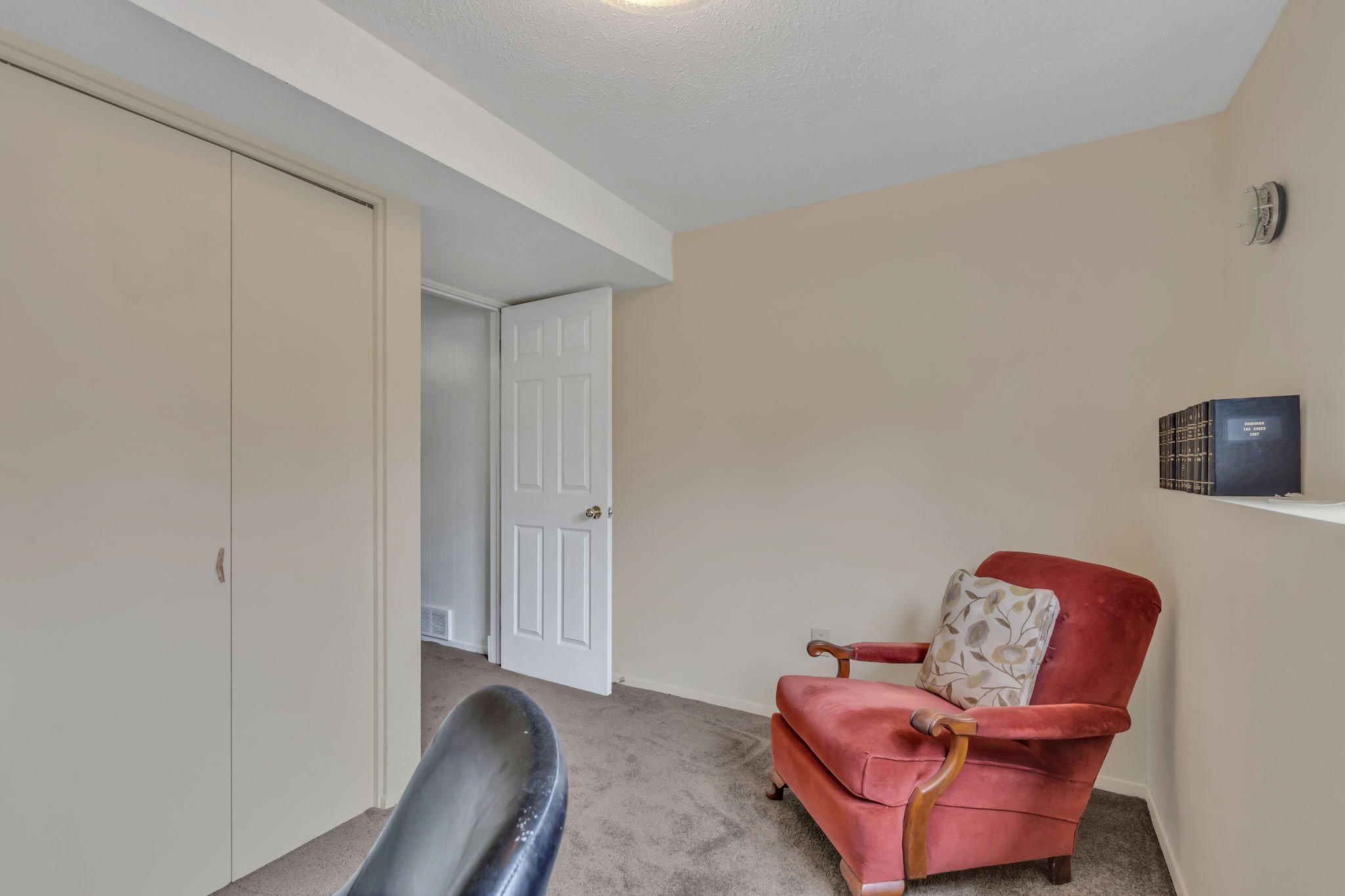
Bedroom:
Bedroom:
Bedroom:
Garage:
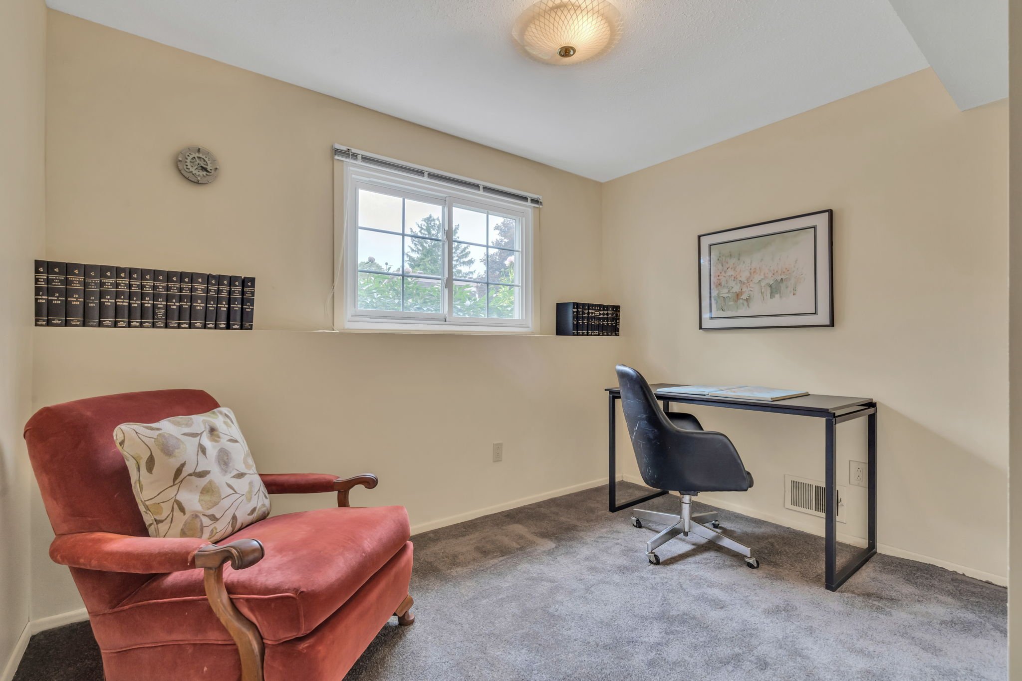
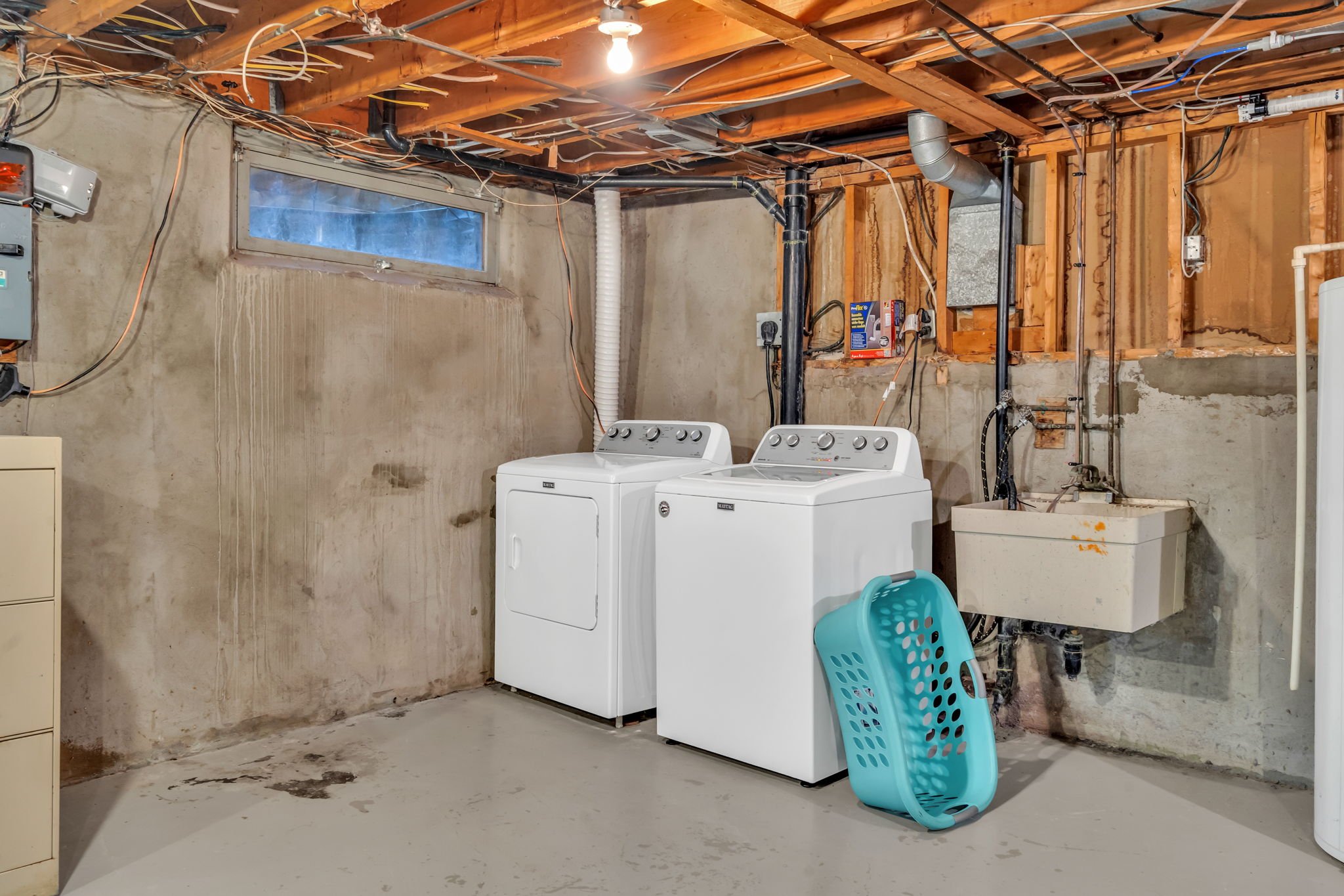
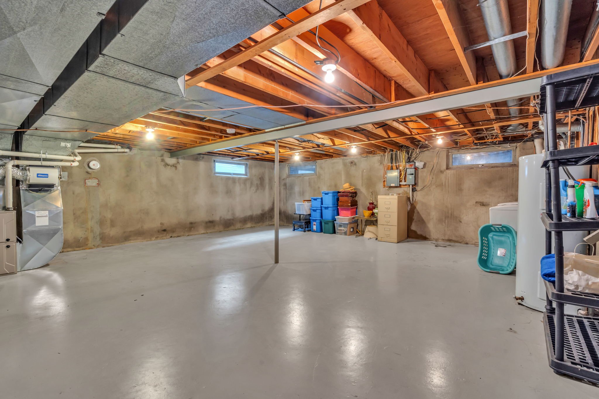
Utility:
Level
Main
Main
Main
Mid-Lower
Main
Mid-Lower
Second
Second
Second
Second
Mid-Lower
Mid-Lower
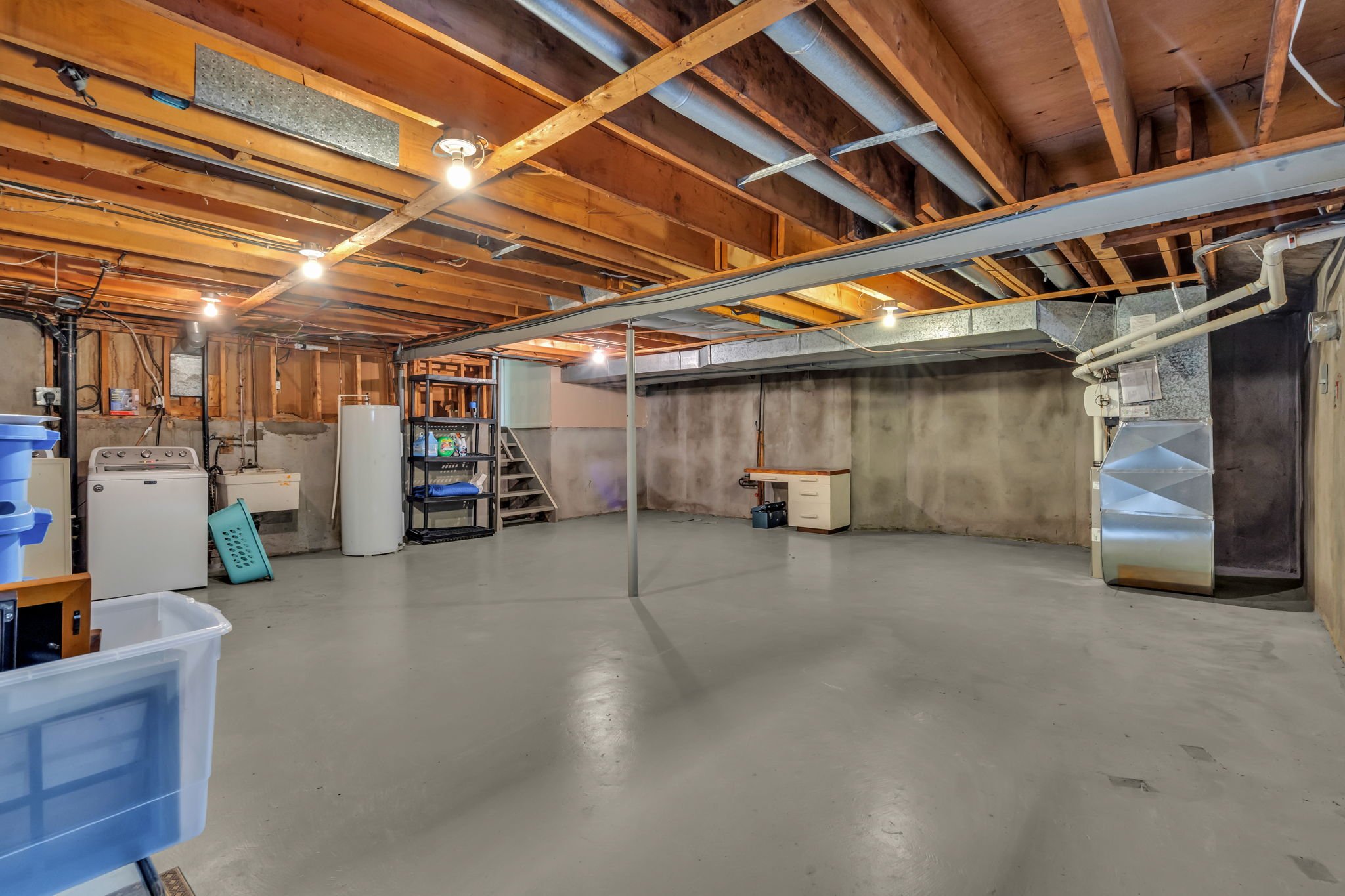
Basement
Dimensions
16’11” X 14’7”
12’3” X 9’7”
13’2” x12’3”
16’0” x 13’11”
5’11” x 4’8”
7’1” x 5’8”
13’5” x 13’2”
9’0” x 7’2”
13’2” x 12’7”
10’02” x 9’7”
11’10” x 9’2”
19’1” x 9’9”
25’9” x 23’0’
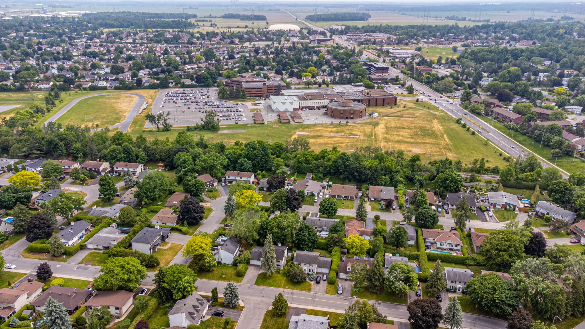
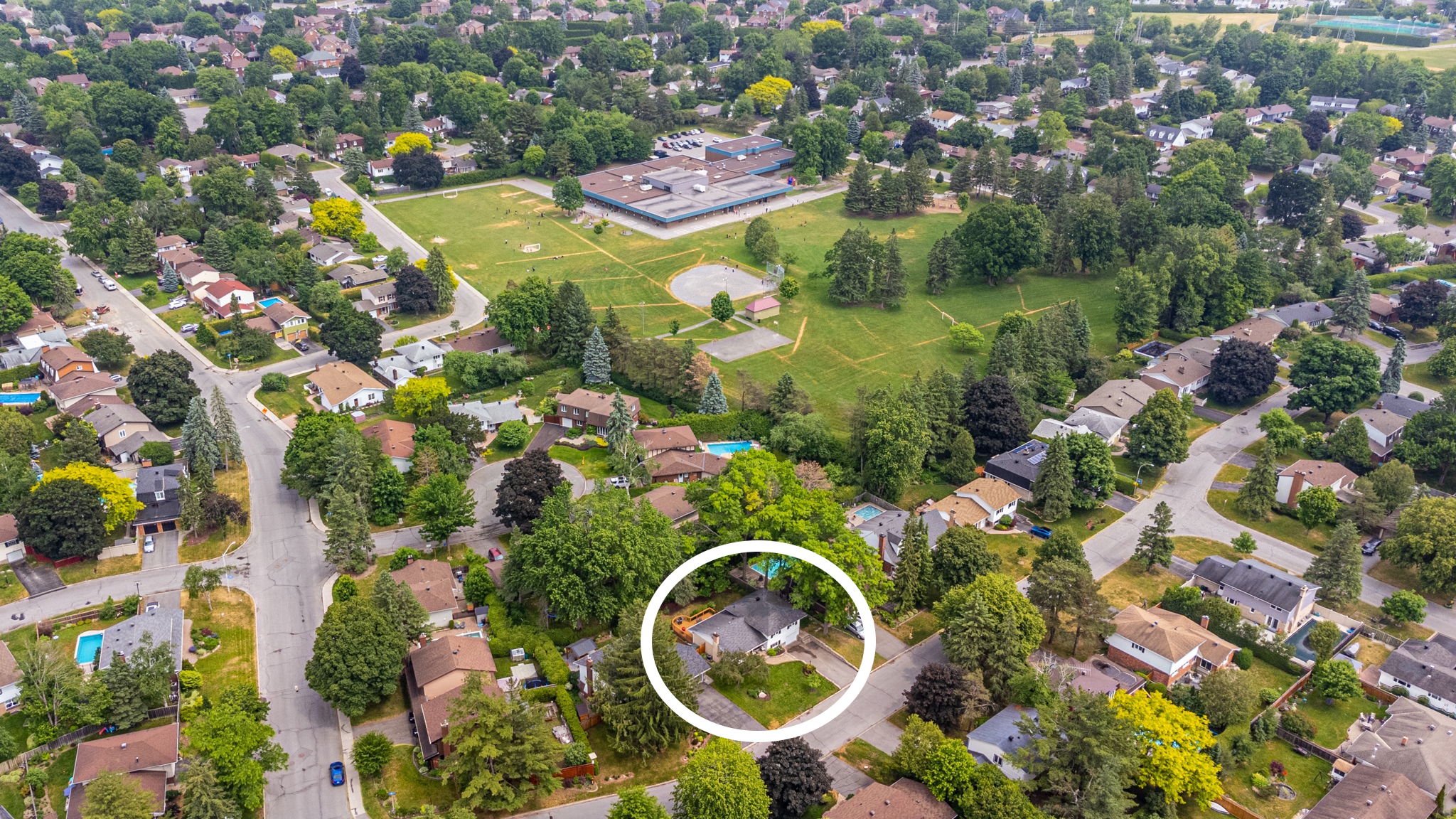
Briargreen
Was originally built as a suburban neighbourhood located in College Ward in the west end of Ottawa and now finds itself in the middle of Central west Ottawa. Prior to amalgamation in 2001 it was located in the City of Nepean. The borders of the neighbourhood are Pinecrest Cemetery to the north, Centrepointe to the east, Craig Henry to the south, and Greenbank Road to the west. The community was built in the late 1960s to early 1970s same time as the nearby neighbourhoods of Leslie Park and Arlington Woods. The main roads in the community are Ashgrove Crescent and Meadowbank Drive.
The neighbourhood is surrounded by banks and trees as it was originally a forest. Briargreen Public School is situated in the heart of the community. There is a city park immediately to the west of the school.